About
Where the Iridium satellites are right now, which ones are above you, and when the next high pass comes — the question you ask when an inReach message hasn't gone through yet.
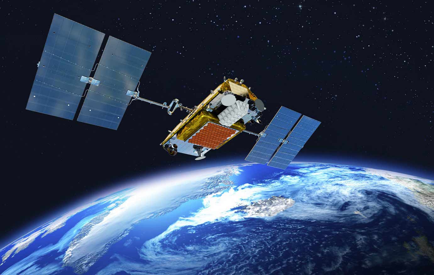
What the map shows
- 3D globe or 2D map — drag to turn the globe, scroll to zoom; the 2D map can be tilted (right-drag). Day and night are real: the night side shows NASA's city lights, and the terminator moves with the time control.
- Satellites — the 66 operational Iridium NEXT satellites (blue) at their true altitude (~780 km), plus the in-orbit spares (grey) and non-operational objects (black) when switched on. The small number on each icon is its orbital plane (1–6). Click one for its details and ground track.
- Ranges — each satellite's footprint on the ground (where it is above your minimum elevation angle, default 8.2°) and the cone of coverage down to it. Toggle them off for a cleaner view.
- Your location — click the map or use GPS: lines join you to every satellite currently usable and the badge counts them. The panel shows what is in view now with azimuth and elevation, the best satellite, the next pass above 45°, a 60-minute timeline of how many will be usable, and a sky view (centre = straight up) with each satellite's motion over the next 5 minutes.
- Time control — scrub up to ±12 hours or press play (60×) to see how the constellation and the terminator move.
- Offline — install the site (Add to Home Screen) or simply open it once: it keeps working without a connection, with the last orbital elements and the world imagery stored on your device. Iridium orbits are very stable, so positions stay accurate for about a week without new data; the header shows the date of the orbits in use.
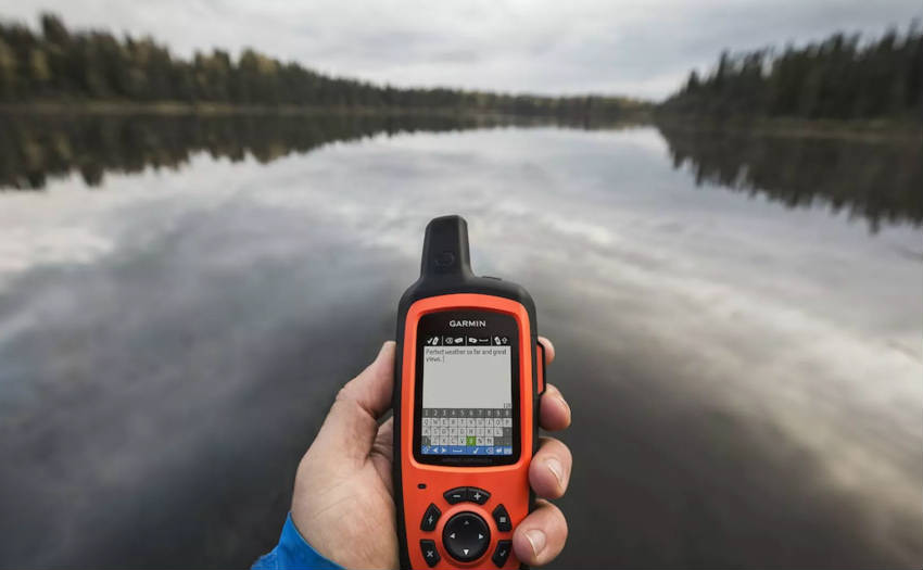
Garmin inReach
An inReach handheld sends SMS, e-mails, positions and SOS through the Iridium constellation — very useful where there is no cellular reception: at sea, in flight, in the mountains or the desert. Knowing where the satellites are helps you understand why a message is slow (a ridge, a canyon wall, tree cover) and where to stand.
There is also an IridiumWhere app for Garmin watches (Connect IQ) with the same radar view on your wrist.
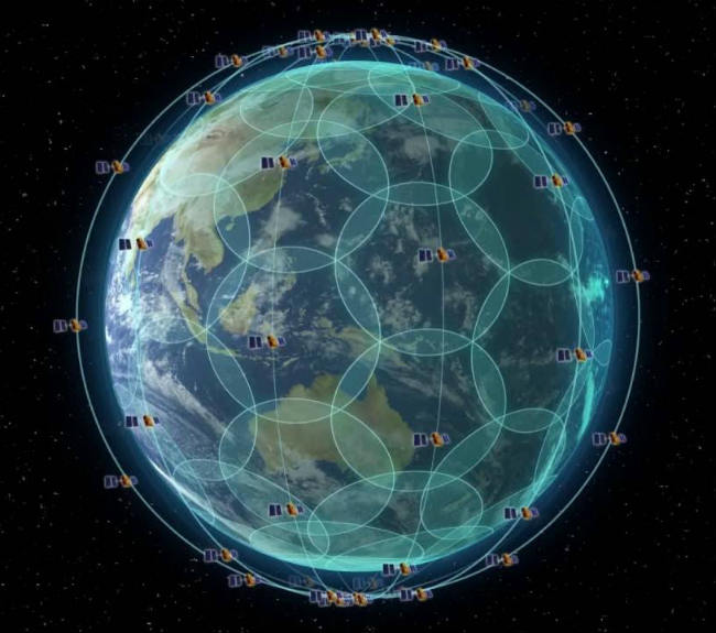
The Iridium constellation
66 operational satellites in 6 polar orbital planes (11 per plane) at ~780 km, plus in-orbit spares at a slightly lower altitude and a few ground spares launched later. Period 100.4 minutes, inclination 86.4°. The layout covers the entire planet at every instant — including the poles — which is unique among communication constellations, and the low altitude keeps the delay short compared with geostationary orbits at 36 000 km.
Spares fly lower (750–770 km) and slightly faster, so they drift relative to the operational satellites; one can replace a failed satellite by raising its orbit when it reaches the right slot.
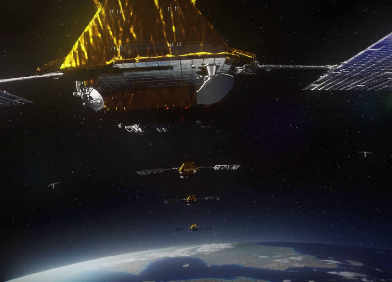
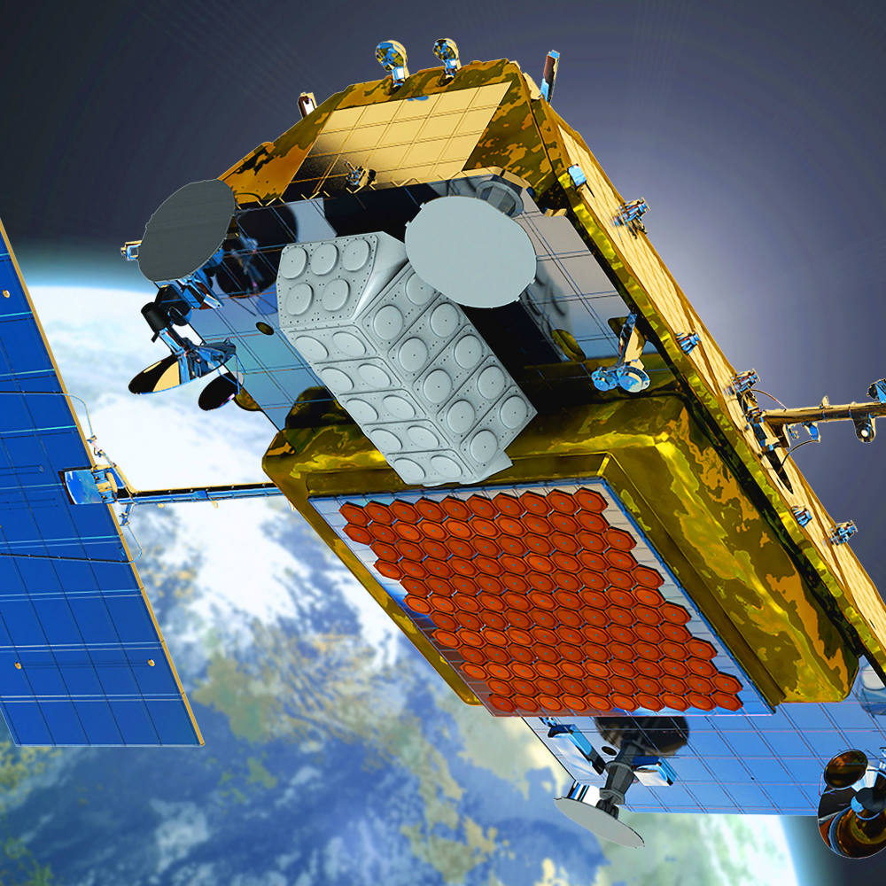
Iridium NEXT
The original constellation launched in 1997–1998. After the company's bankruptcy and rescue, the new owners replaced it entirely with a second generation, Iridium NEXT, built by Thales Alenia Space: 75 satellites on eight SpaceX Falcon 9 launches from Vandenberg between January 2017 and January 2019, plus five ground spares launched on 20 May 2023. NEXT satellites carry hosted payloads such as ADS-B receivers (aircraft tracking) and AIS (ships).
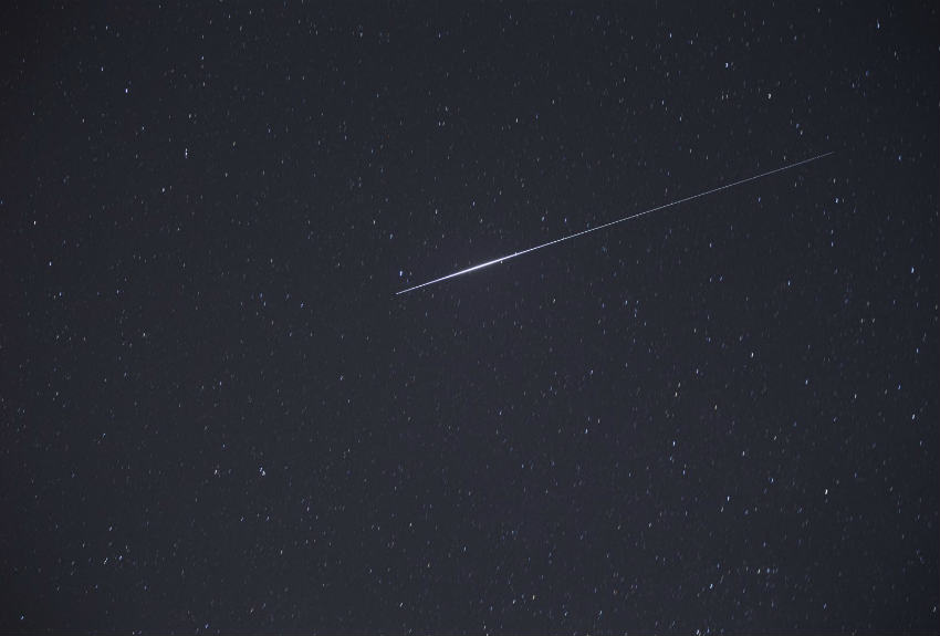
The old satellites produced the famous Iridium flares — brief bright reflections of the sun for observers on the ground. NEXT satellites have a different shape and do not flare.
How it works
Positions come from two-line elements (TLEs) published by CelesTrak, fetched once a day by constellationsim.com's shared TLE service and propagated in your browser with SGP4 (satellite.js). Azimuth, elevation, slant range and footprints are computed on the WGS84 ellipsoid (the same reference the GPS in your device uses); the minimum-elevation setting is what a real terminal needs to close the link.
Curious about future constellations (Starlink, Kuiper, OneWeb…) and inter-satellite routing? Try ConstellationSim.
No WebGL on your device? The classic 2D map has the same coverage analysis on Leaflet.
Sources and credits: Iridium, Thales, CelesTrak, NASA (imagery: Blue Marble Next Generation with topography & bathymetry — self-hosted tiles mirrored from NASA GIBS, part of EOSDIS — Earth Observatory base map, Black Marble night lights), Natural Earth (borders, places), MapLibre GL, satellite.js.